
Monday Sunny |
Tuesday Sunny |
Wednesday Slight Chance Rain Showers |
Thursday Sunny |
Friday Sunny |
Saturday Sunny |
Sunday Sunny |
|
| High: 81 °F | High: 85 °F | High: 84 °F | High: 82 °F | High: 81 °F | High: 78 °F | High: 75 °F | |
Tonight Clear |
Monday Night Clear |
Tuesday Night  Mostly Clear |
Wednesday Night Mostly Clear |
Thursday Night Mostly Clear |
Friday Night Clear |
Saturday Night Clear |
|
| Low: 40 °F | Low: 46 °F | Low: 50 °F | Low: 51 °F | Low: 48 °F | Low: 44 °F | Low: 41 °F | |
Ben's WX Summary
- Updated: Sunday @ 03:57pm
Welcome to summer, and Happy Father's Day to all those dads! It will definitely feel more summer-like this week as high pressure strengthens, pushing temperatures above average and bringing a slight bump in humidity as well. Expect mostly sunny skies this afternoon, with highs in the upper 70s and west winds 5-15 mph. High pressure will strengthen across the region next week, leading to our first summer heatwave of the season as temperatures reach the mid-80s, with south to southwest winds continuing 10-20 mph at times. High pressure is forecast to settle over Arizona this week, putting Southern California in a semi-favorable position for a southerly flow to draw limited mid & upper-level moisture into the region. This may lead to some afternoon clouds with a few thundershowers possible around Wednesday or Thursday. Temperatures will remain above average throughout the week, cooling slightly next weekend as a drier southwest flow develops. Longer range currently looks dry the week of the 29th with a gradual warm-up headed towards the Independence Holiday weekend. There are also signs we could see another increase in monsoon moisture during early July, but still a ways out.
| Current Conditions | Wind | Rain | Outlook | ||||||||||||||||||||||||||||||||||||
|
|
|
|
||||||||||||||||||||||||||||||||||||
| Humidity & Barometer | Snowfall | Moon | |||||||||||||||||||||||||||||||||||||
|
|
|
|||||||||||||||||||||||||||||||||||||
| UV Index | Solar Radiation | ||||||||||||||||||||||||||||||||||||||
|
|
||||||||||||||||||||||||||||||||||||||


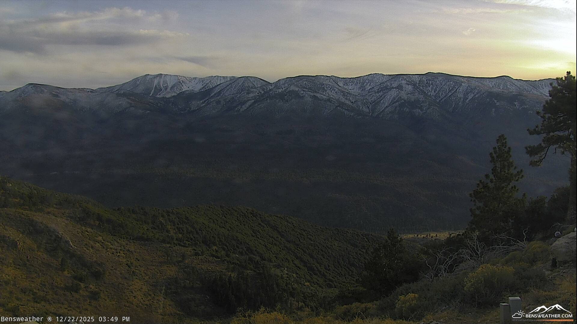
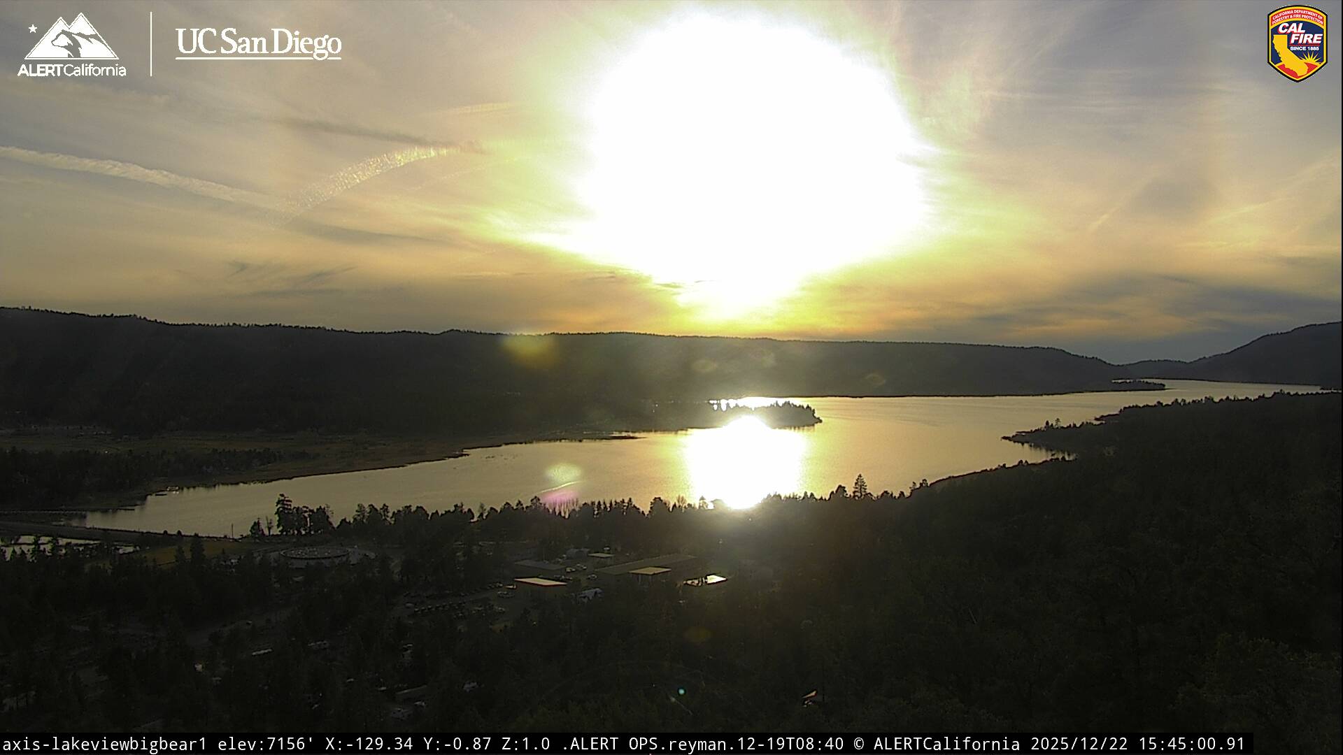
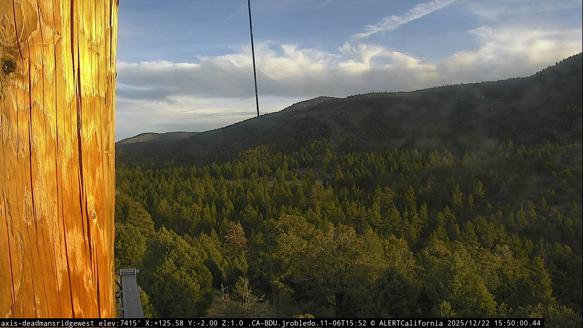
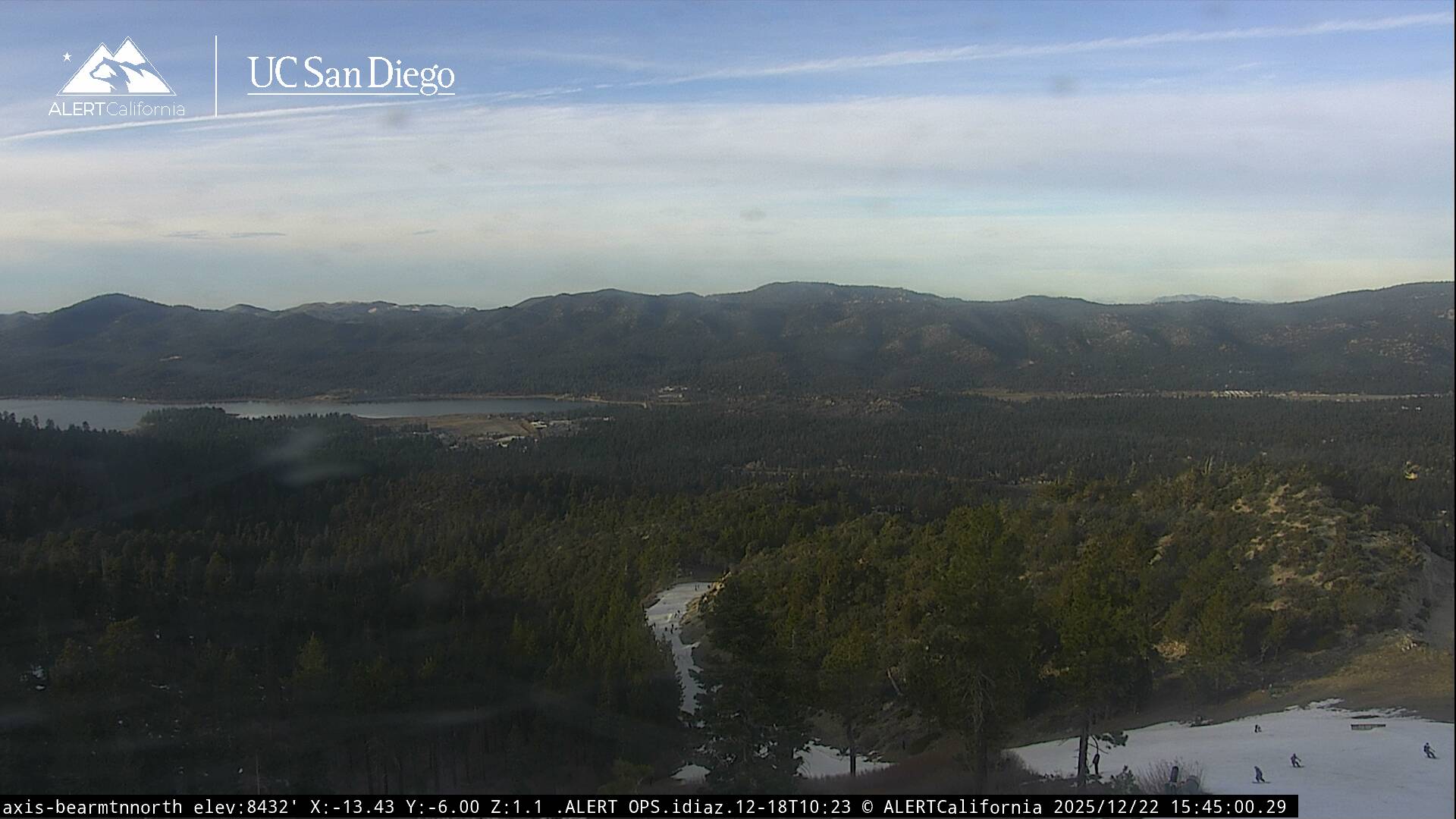
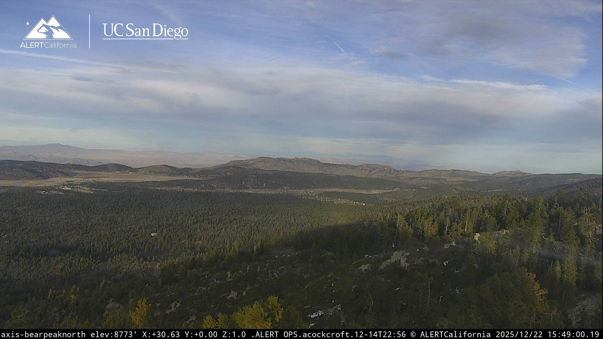
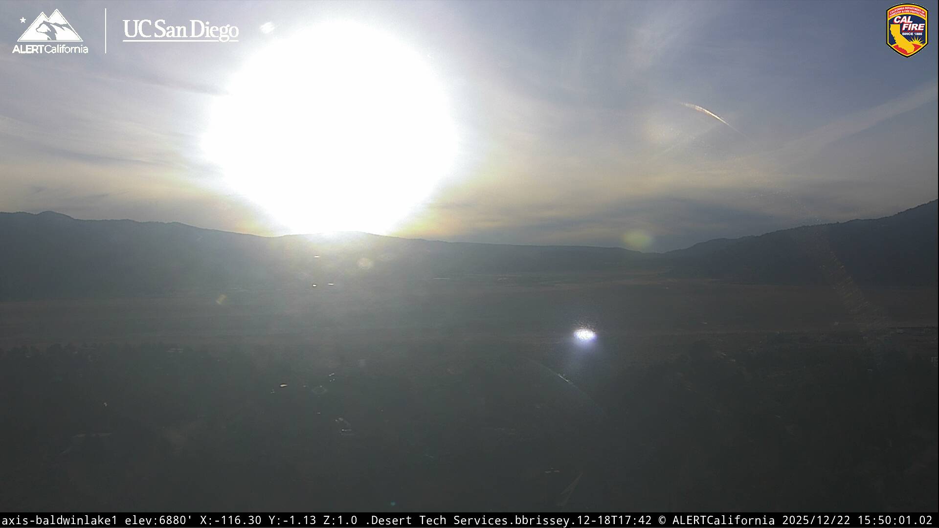
Live Cams